

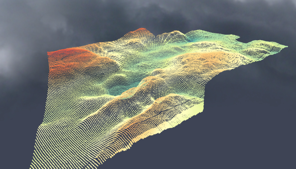
Sørum
3D bedrock map
LiDAR + EM data fusion
Follo
LiDAR + EM data fusion
(propriatory data)
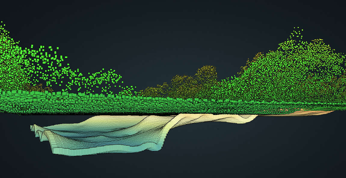
Bamble
LiDAR + EM data fusion
(propriatory data)

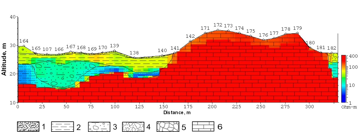
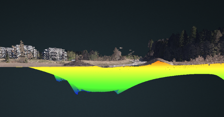
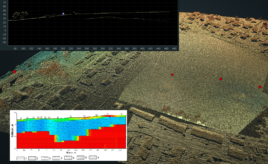
Bomansvik
Sediments volume evaluation. LiDAR + EM Fusion
(propriatory data)
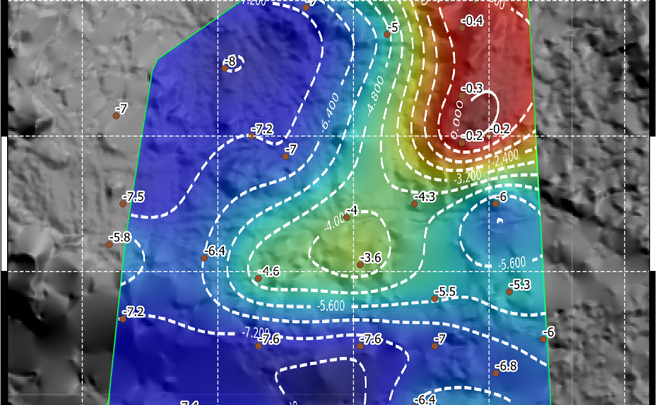
Skogro
Bedrock map. 2/3D LiDAR + EM data fusion
(propriatory data)
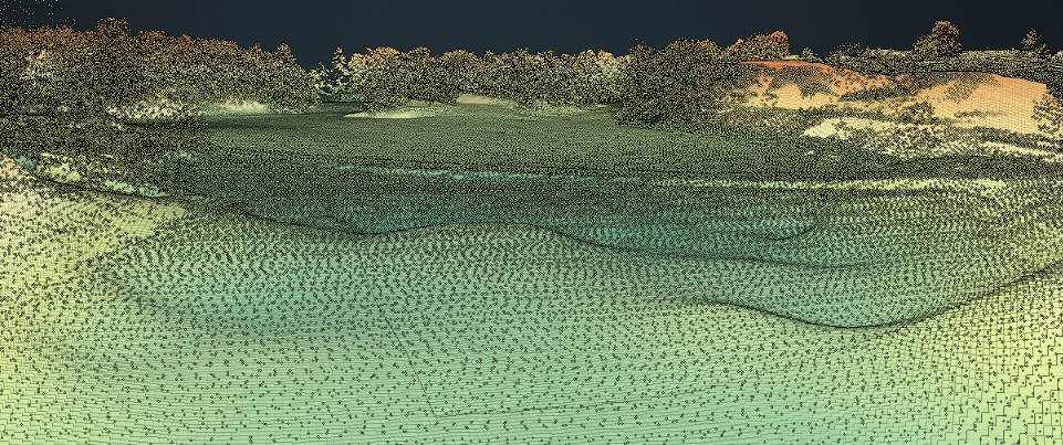
Thorbjørnsrød, Moss
LiDAR + EM data fusion
(propriatory data)
Kallum, Moss
3D bedrock and sediments map
(propriatory data)

